 How the Process Works
Step 1: Conversion
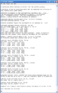
The National Hurricane Center issues forecast advisories every 6 hours, and intermediate advisories at 2 or 3 hour intervals when storms are nearing landfall. Central Pacific Hurricane Center advisories and Joint Typhoon Warning Center advisories for the West Pacific and South Pacific are also included for worldwide, year-round tracking.
Within minutes of issuance, HurricaneMapping servers ingest the new advisories, then model and convert the data to sets of map layers. Sea Island Software staff monitor this process 24 hours a day to ensure its reliability.
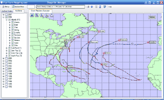
Monitoring and autodownloads
via HurricaneMapping's Shapefile Manager

Step 2: Distribution
KML and shapefile advisory datasets from live storms are delivered to your computer automatically. A network link within Google Earth keeps KML subscribers up-to-date with current advisories from all active storms, while shapefile subscribers use a light-weight desktop utility called Shapefile Manager, to monitor live storm activity and manage downloads.
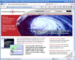
 Individual advisories from current and historical storms may be manually downloaded at any time by logging into www.hurricanemapping.com with a web browser.
<<< Downloads via your web browser
Step 3: Use in Google Earth and ArcGIS
Once you have a HurricaneMapping storm advisory dataset loaded into Google Earth or ArcGIS, there are endless possibilities for analysis and presentation! Visit our case studies page to find out how HurricaneMapping data is being used.
Next Page: File Formats and Map Layer Specifications >>>
